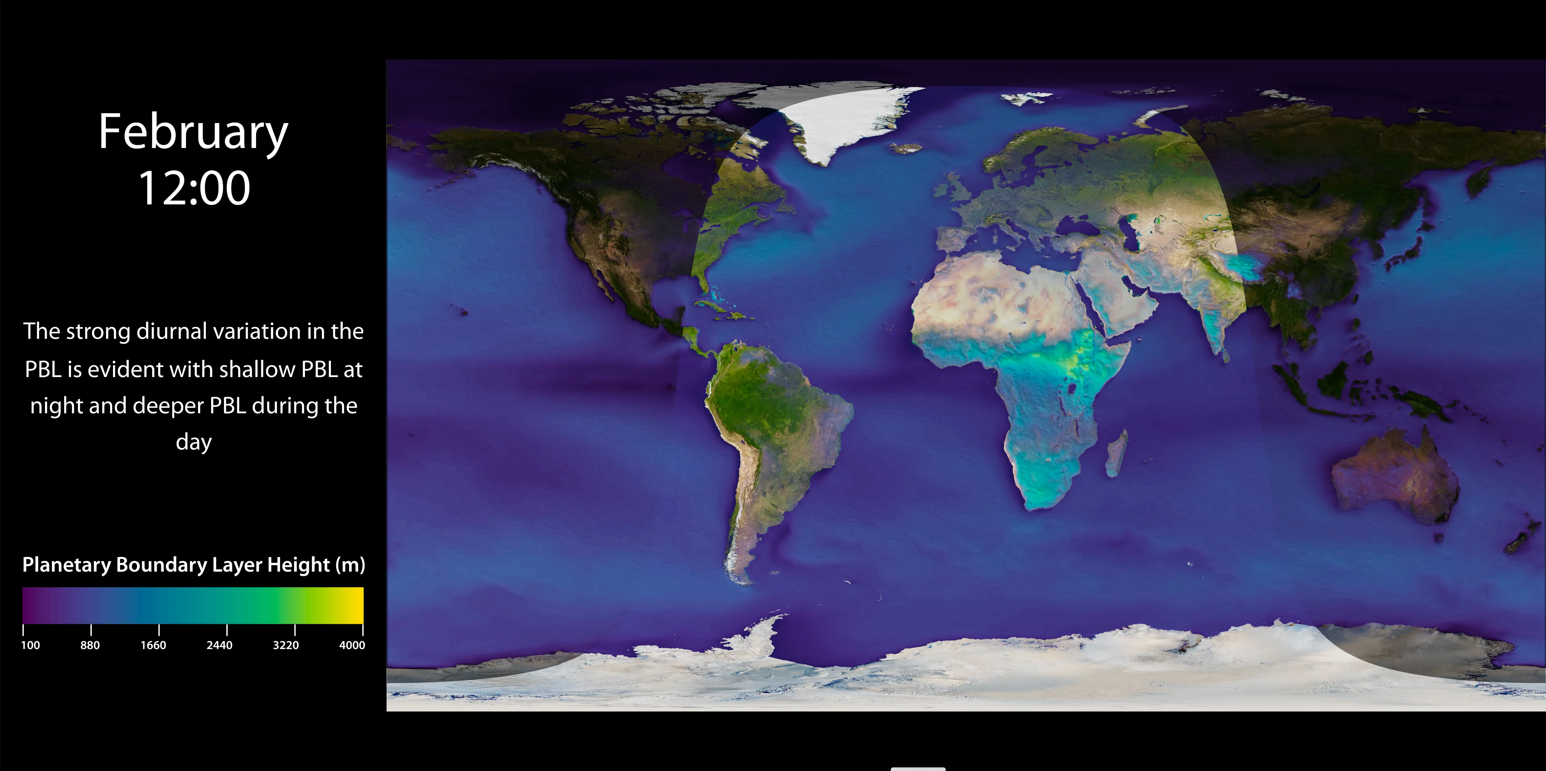
Planetary Boundary Layer (PBL) is the lowest part of the atmosphere which is directly influenced by the Earth’s surface. The top of the PBL often acts like a cap to trap air in the layers below thus having a major influence on atmospheric phenomenon like dispersion and concentration of pollutants (air quality), trade winds, cloud formation and, extreme weather to name a few.
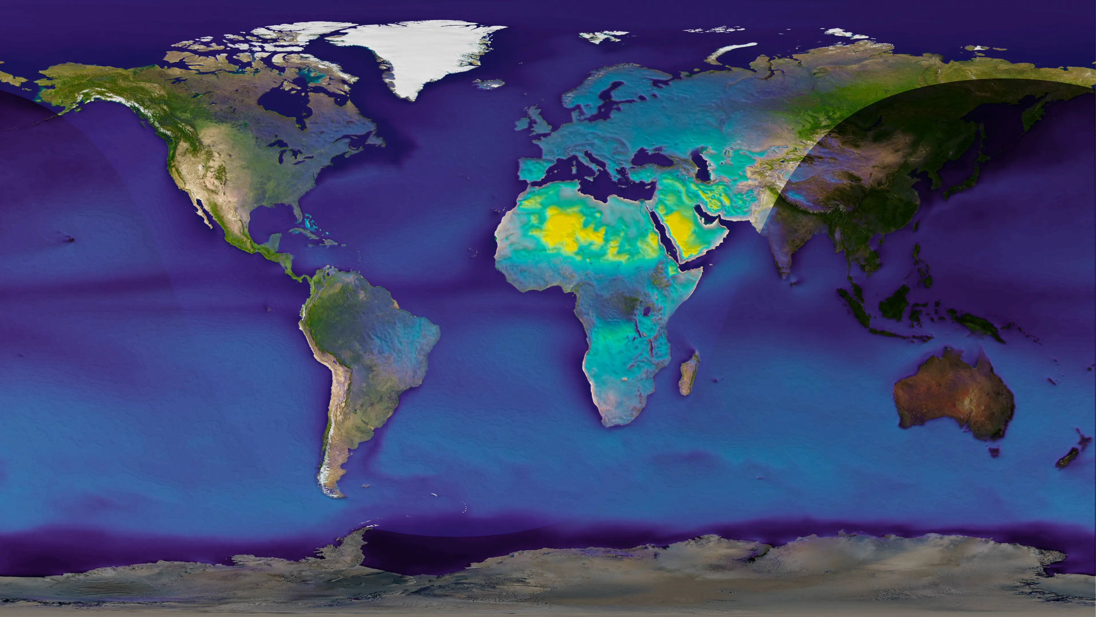
The thickness of the planetary boundary layer, commonly referred to as the Planetary Boundary Layer Height (PBLH) is strongly influenced by the topography, ground cover, temperature and winds. Consequently, PBLH exhibits strong temporal variations (changing with time of the day and seasons) and spatial variations (changing from one place to another). Some feature that can be observed are:


Hourly PBLH averaged over each month between 2000-2017 for each corresponding hour, obtained from the ECMWF ERA-5/LAND Global Climate Re-analyses dataset (DOI: https://doi.org/10.5065/D6X34W69).
The Planetary Boundary Layer Height (PBLH) is measured in meters above the earth surface.
Nihanth Cherukuru, CISL, NCAR.
The NCAR Command Language (Version 6.6.2) [Software]. (2019). Boulder, Colorado: UCAR/NCAR/CISL/TDD. http://dx.doi.org/10.5065/D6WD3XH5
Blender – a 3D modelling and rendering package. Available at: http://www.blender.org.